Edmund Devine
Have you ever studied a recent map and traced out the landmarks and borders of our modern, international world? What about a map from a thousand years ago? Five-thousand? How about so old that it still shows the bare landscape of the Antarctic continent that today is covered by over a mile of ice? Well, one such map survives today and we will bring that map to the light of day once more. Today we answer… What is the Piri Reis Map? I’m Edmund Devine and this is the Historian’s Archive.
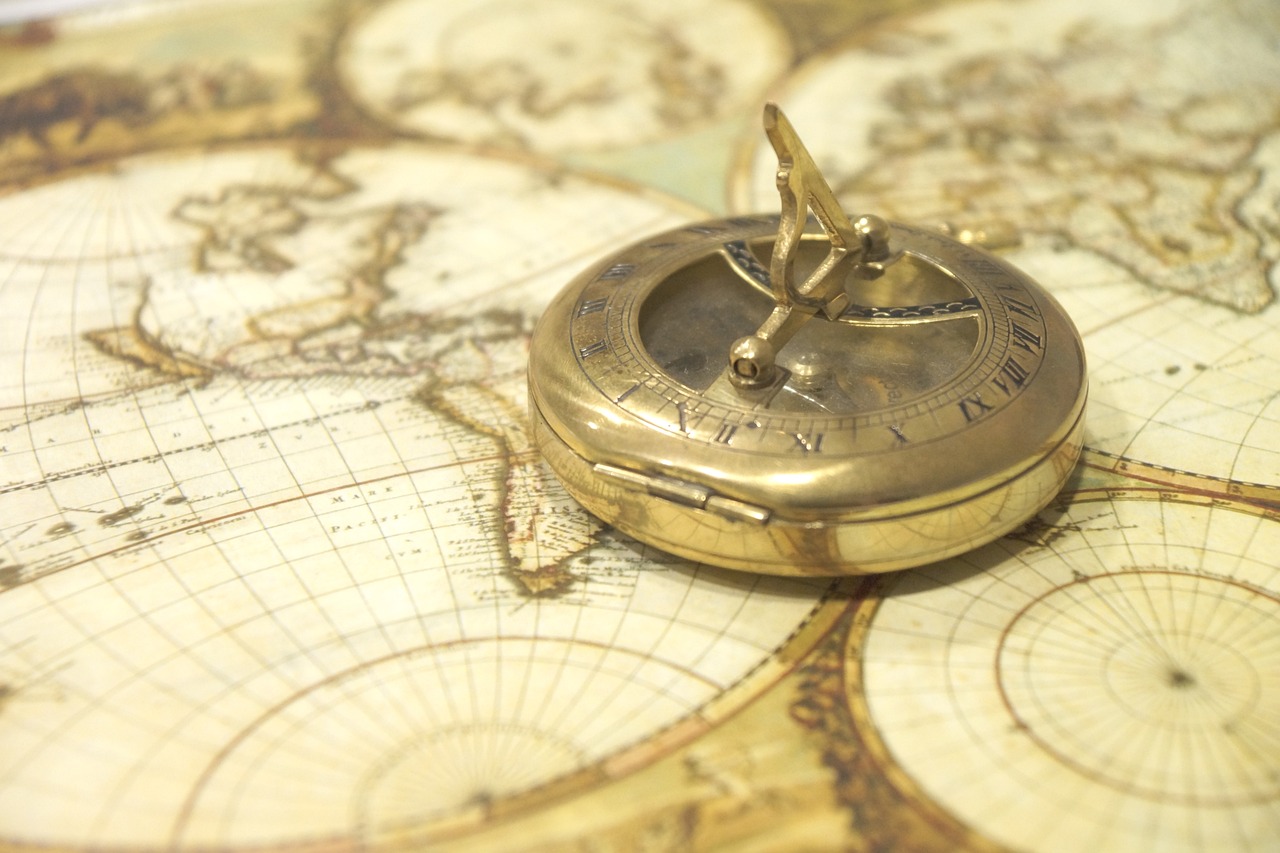
A map can be many things. Many medieval maps are abstracts of places, not accurate in the slightest geographically. They merely show the world from a religious or societal viewpoint, such as the S. Osma Beatus Medieval World Map. Some, trying to attain a higher mark, attempt a basic pass at a geographically ‘accurate’ map such as the Andreas Walsperger Map of 1448 where we might turn our heads sideways and think ‘Yes, okay. I think I can see something I recognize’. Finally, and most importantly in the long term when it comes to both our exploration today and for map making in general, the third type of map was called a ‘portolan’ which is a form of sea chart, a guide to ports and points of interest upon the seas. These maps, such as the Dulcert Portolano of 1339, though still horribly overdone and filled with fanciful additions, make up the most accurate maps of the time. As time progressed and the ‘New World’ was rediscovered by Columbus in the late 1400’s it threw the whole world and its mapmakers into a clamor. Along with it came many new maps of how this ‘New World’ looked! Among them was a map compiled from several other old and new maps. This map was created by an Ottoman Admiral named Piri Reis. Sadly, only a piece of this map survives today, but it is the most important part.
The Piri Reis map shows a rather accurate depiction of the Brazilian coast, and dips south to nearly perfectly trace the actual landmass of Queen Maud Land in the Antarctic. By 1513, that entire land was covered with a mile-thick mass of ice, ruling out any possibility that this was drawn up by someone who happened to sail past the lands shown. But there was a time, many thousands of years into the past when the Artic was mostly ocean and the Antarctic was an archipelago. This time was the Grand Climate Optimum and there was, as Dr. Enzmann has shown, a people of sea-faring, intercontinental explorers who used the Antarctic continent as a place to transit to other places on the globe. The Vanir-Æsir could very well be the people who made a map that was saved, copied, and preserved since the times of the Grand Climate Optimum thousands of years ago.


